This post is Part 2 of Redstone’s Internet of Water blog series, which highlights just a few of the enormous efforts across the country to unlock vital data on our water supply, consumption, and use.

The San Francisco Bay-Delta is California’s most important estuary.
Millions of dollars are spent each year to monitor, assess, and report on delta conditions to meet specific mandates. Prior to Bay-Delta Live, there was no overall structure to coordinate each of the activities, no easy to way to access the data from a single location, and no universally agreed upon way to integrate the data and information into a coherent ecosystem health assessment.
The Bay-Delta Live platform offers a strong case for the myriad benefits of an integrated water data system. It has generated time and cost savings and has helped better inform the decisions made by water managers on a daily basis.
Bay-Delta Live formed as a collaborative community focused on expanding open and transparent sharing of data and information that are essential to understanding the complex and dynamic ecosystem of the Sacramento-San Joaquin Bay Delta. Data on the platform are integrated from multiple federal, state, and local sources.
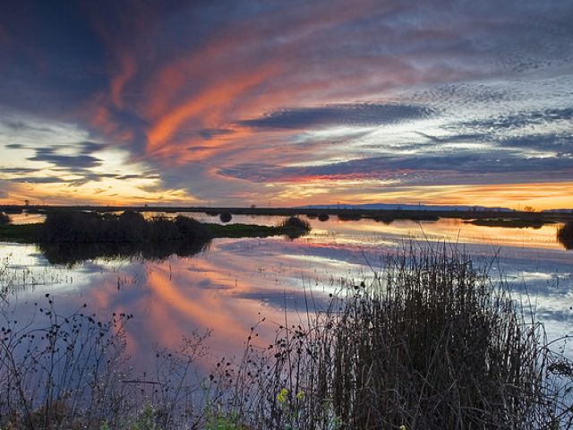
Sunset over the lower Yolo Bypass | Bay-Delta Live
Southern California’s Metropolitan Water District invested two million dollars over five years to help launch the platform, and developer 34 North was tasked to develop the platform and provide continued data management and visualization support. Excitement and participation in Bay-Delta Live has steadily grown as the platform’s value is proven time and again. The platform has saved both time and money, improved collaboration between agencies, and increased transparency with the public.
But most significantly, Bay-Delta Live has improved decision-making for the health of the ecosystem and water systems dependent on water entering the bay.
The platform offers quick access to information needed for daily decision-making. During critical periods there are $100 million dollars worth at stake based on the decisions made during a weekly meeting. Prior to Bay-Delta Live, staffers collected data daily from various websites and portals, synthesizing the data, and sending results via email to agency leaders for a Friday meeting. And before the platform, the most recent data may have been measured 2 weeks prior.
Now, leaders simply pull up the app on a computer or phone and they can see conditions in real-time for decision-making. Raw data is presented through enhanced visual interfaces that improve communication between stakeholders: managers, scientists, conservationists, policy makers, academics and other community interests.
Excitingly, Bay-Delta Live’s open data model has allowed similar regional data federations to evolve throughout the state of California for a system-wide collaboration. All investments made in each program are shared with other regional platforms, such as The Sacramento River Data Platform, The San Joaquin River Real Time Management, and The Department of Water Resources Water Quality Conditions Report.
*Special thanks to Lauren Patterson at The Nicholas Institute for Environmental Policy Solutions at Duke University, whose contributions to this post, the project, and the field are greatly appreciated.
Bay-Delta Live Factsheets
![]()
![]()
![]()
![]()
![]()
![]()